Haus der Kulturen der Welt (HKW)
Territories of Urbanisation: Mapping Projects
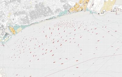
During the last decades, the boundaries of the urban have been exploded to encompass vast territories far beyond the limits of even the largest mega-city regions. Through this process of extended urbanisation, novel patterns of urbanisation are crystallising in various environments, in agricultural areas, in the space of seeming wilderness and in the oceans, challenging inherited conceptions of the urban as a bounded zone and a dense settlement type. These observations suggest a radical rethinking of inherited cartographies of the urban, at all spatial scales.
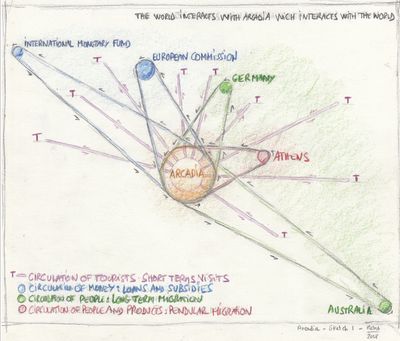
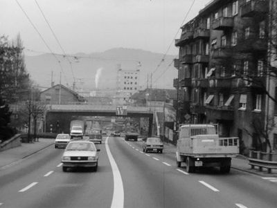
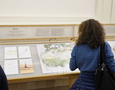
Starting from this observation, a set of collaborative interdisciplinary projects in which new cartographic methods served as key instruments of research and representation of processes and territories of extended urbanisation have been developed over the last decade. Departing from the ground-breaking work Switzerland: An Urban Portrait by Studio Basel, we will shed light on more recent projects such as Singapore Hinterland—Milica Topalović at the Future Cities Laboratory (FCL), the collaborative exhibition Cartographies of Planetary Urbanisation presented at the Shenzhen Biennale (N. Brenner, C. Schmid, M. Topalović) and the FCL project Territories of Extended Urbanisation—C. Schmid and M. Topalović. We will further discuss the mapping processes of two projects —Territories of Extended Urbanisation and Singapore Hinterland— to describe the challenges of combined qualitative and quantitative mapping.
The panel tries to show how mapping could be understood as a collective process enabling discussions, theoretical development and production of knowledge in interdisciplinary academic work.


